Get Property Line Surveying in Raleigh, NC
Property line surveying services help Raleigh property owners resolve boundary disputes, establish clear property limits, and support fence, extension, or land development projects.
Property line surveying services provide clarity and precision for property owners in Raleigh, NC, ensuring boundaries are accurately established. This work helps prevent disputes with neighbors, avoids encroachments, and maintains the integrity of property lines, which is essential for legal peace of mind and smooth property transactions. Knowing the exact boundaries also enhances the ability to plan future improvements, such as landscaping or fencing, with confidence that they will stay within legal limits.
Engaging professional surveyors offers benefits that extend beyond boundary clarity. Accurate property lines contribute to increased curb appeal and property durability by supporting well-placed landscaping and structures that are less prone to damage or encroachment. Additionally, clear boundaries can reduce ongoing maintenance costs by preventing conflicts or the need for corrective work, ultimately helping property owners in Raleigh maintain a safe, functional, and attractive outdoor space.
- Property boundary delineation services are essential when establishing property lines for new developments or boundary disputes in Raleigh, NC and surrounding areas.
- Property line surveying is needed before constructing fences, walls, or other structures to ensure compliance with property boundaries.
- Landowners may require boundary surveys when buying or selling property to verify boundary lines and avoid future conflicts.
- Property line surveys are useful for resolving neighbor disputes related to encroachments or boundary disagreements.
- Developers and landowners often seek boundary surveys to accurately map property limits for planning and subdivision purposes.

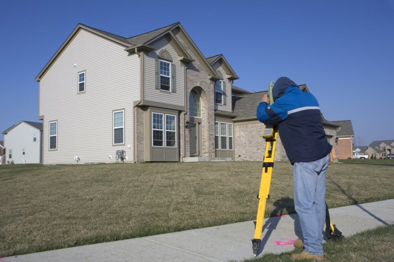
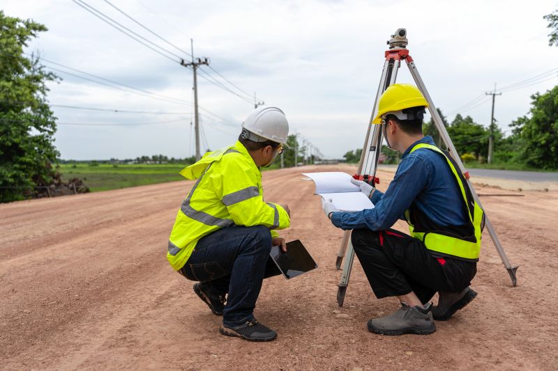
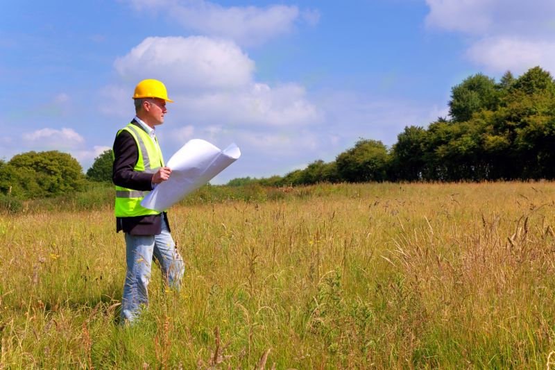
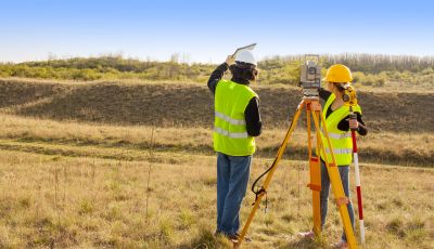
Property line surveying services involve the precise measurement and mapping of a property's boundaries. These surveys typically include establishing the exact location of boundary lines, identifying existing markers, and producing detailed maps or plats that clearly delineate property limits. This process often requires the use of specialized equipment and techniques to ensure accuracy, especially in areas where boundary lines may be unclear or disputed. Accurate property line surveys are essential for establishing legal boundaries, especially when planning construction, fencing, or land division projects.
These services help address common property-related issues such as boundary disputes, encroachments, and unclear property limits. When property lines are not well-defined, neighbors may inadvertently or intentionally build over boundaries, leading to conflicts. A property line survey provides a definitive record of boundary locations, helping property owners resolve disputes and avoid legal complications. Additionally, these surveys are often required before purchasing or selling land, ensuring all parties have a clear understanding of the property's limits and reducing the risk of future disagreements.
Property line surveying is frequently utilized for residential, commercial, and agricultural properties. Residential properties, such as single-family homes and multi-unit complexes, often require surveys before building fences, installing pools, or making additions. Commercial properties, including retail centers and office complexes, rely on accurate boundary delineations for development and leasing purposes. Agricultural landowners also use property line surveys to manage land divisions, boundary adjustments, or to comply with local regulations. Regardless of property type, precise boundary information is crucial for legal clarity and proper land management.
Professional property line surveyors use a combination of field measurements, boundary markers, and legal records to produce accurate boundary delineations. These services are especially valuable in areas where property lines are ambiguous or where previous surveys are outdated. By providing clear boundary definitions, property line surveys help property owners, developers, and legal professionals mitigate risks associated with boundary ambiguities. Engaging experienced local surveyors ensures that boundary determinations are accurate and compliant with local regulations, supporting smooth property transactions and land use planning.
The overview below groups typical Property Line Surveying projects into broad ranges so you can see how smaller, mid-sized, and larger jobs often compare in Raleigh, NC.
In many markets, a large share of routine jobs stays in the lower and middle ranges, while only a smaller percentage of projects moves into the highest bands when the work is more complex or site conditions are harder than average.
Basic Property Line Survey - The cost for a standard property line survey typically ranges from $300 to $800, depending on property size and terrain complexity. Smaller residential parcels tend to be on the lower end, while larger or more challenging sites may cost more.
Boundary Verification Services - Verifying property boundaries usually costs between $200 and $600. This service is often needed for minor adjustments or dispute resolutions and varies with property size and survey scope.
Topographic and Boundary Surveys - Comprehensive surveys that include topographic details generally range from $1,000 to $3,000. These are more detailed and suitable for development or construction planning.
Subdivision and Lot Line Adjustment Surveys - Costs for subdividing land or adjusting lot lines typically fall between $1,500 and $4,000. The price depends on the number of lots involved and the complexity of the project.
Actual totals will depend on details like access to the work area, the scope of the project, and the materials selected, so use these as general starting points rather than exact figures.
Residential Property Line Surveys - These surveys help homeowners accurately determine property boundaries for fencing, landscaping, or construction projects.
Commercial Boundary Surveys - Commercial property owners can rely on these surveys to establish clear property lines for development or legal purposes.
Subdivision Lot Surveys - Subdivision projects require precise boundary measurements to divide land into individual lots for sale or development.
Fence Line Surveys - Fence line surveys identify exact property boundaries to assist with fence installation and dispute resolution.
Boundary Line Adjustments - These services support property owners in modifying boundary lines to reflect legal or land use changes.
Topographic and Boundary Surveys - Combining boundary data with topographical information, these surveys aid in planning and development activities.
When comparing property line survey services, it is important to consider the experience of local pros. Experienced surveyors are familiar with the specific requirements and regulations that may apply in Raleigh, NC and surrounding areas. They often have a history of completing similar projects, which can contribute to more accurate and reliable results. Homeowners should look for providers with a solid track record in property surveying to ensure the work is performed competently and efficiently.
Clear communication and well-defined written expectations are essential when selecting a property line surveyor. Reputable local pros typically provide detailed descriptions of their services, including the scope of work, deliverables, and any necessary preparations. This transparency helps homeowners understand what to expect and reduces the likelihood of misunderstandings. Establishing open lines of communication early on can also facilitate smoother project execution and ensure any questions or concerns are addressed promptly.
Reputable references and reviews from previous clients can offer valuable insights into the quality of a surveyor’s work and professionalism. While the lead-generation platform is not a contractor and does not perform the work, it can help connect homeowners with local providers known for their reliability and integrity. When evaluating options, homeowners should seek out local pros with positive feedback and a reputation for thorough, accurate surveys. Good communication and a history of satisfied clients are indicators of a professional who is committed to delivering dependable property line surveying services.
Property owners in Raleigh, NC use Property Line Surveying services for practical projects around their homes and businesses. The sections below highlight everyday jobs and straightforward project options.
Property line survey services are often needed when property owners in Raleigh, NC are planning to build new structures, install fencing, or make boundary adjustments. These surveys help establish precise property boundaries, reducing the risk of encroachments or disputes with neighbors. Homeowners may also seek this work when purchasing a new property to confirm boundary lines or when resolving boundary disagreements that have arisen over time.
In addition, property owners might look for survey services to update existing boundary markers or to prepare for legal documentation required for property transactions. Accurate boundary information can be essential for ensuring compliance with local regulations and for avoiding potential conflicts. Local survey professionals can provide the expertise needed to accurately determine property lines for various everyday projects around Raleigh.
What is a property line survey? A property line survey is a process where a professional measures and maps the boundaries of a property to establish its exact limits.
Why might I need a property line survey? Property line surveys are often required for boundary disputes, property transactions, or to ensure construction stays within legal boundaries.
How long does a property line survey typically take? The duration of a survey depends on the property's size and complexity, but it generally takes from a few hours to a couple of days.
What should I provide to a surveyor? Providing any existing property deeds, plats, or previous survey records can help facilitate an accurate survey process.
How can I find local property surveyors? Contacting local land surveying firms or service providers in Raleigh, NC, can connect property owners with experienced surveyors in the area.
Boundary Identification Services - Professionals can accurately determine property boundaries to prevent disputes and ensure proper land division.
Property Line Marking - Experts provide clear marking of property lines using durable markers to establish precise boundaries.
Survey Mapping & Documentation - Local surveyors create detailed maps and records of property lines for legal and planning purposes.
Land Dispute Resolution - Experienced pros assist with resolving boundary disagreements through accurate survey data and documentation.
Considering Property Line Surveying for a property in Raleigh, NC? The sections above highlight common project types, practical options, and details that often shape the scope of work.
When you are ready, use the quote form to share a few details about your project. Local pros can review the basics and respond with options that match what you have in mind.